Today I went to Catalina ("Santa Catalina Island") for my birthday. Previously the only times I've been there was for SCUBA diving so I have never actually seen the island above the water's surface. This time I wanted to check out the island for hiking & camping purposes.
Unfortunately the weather was sucky. In the morning it was raining and stayed drizzly through most of the early afternoon. You will see in the pictures below the dark shroud hoovering over the island. I was hoping it would clear up on the boat ride to the island but as I got closer I realized I was wasting my hopes on that one.


The boat unboards in the city of Avalon. There is a certain small seaport town feeling to Avalon but there is an overwhelming feeling of tourism also. I am not really a touristy-type person so I got over the city of Avalon in about 20 minutes. It is 2:00pm and there are still low clouds so I am unable to see the top of the mountains. I went to 125 Clarissa to the Catalina Conservancy House to get a hiking permit and since I only had 5 hours I chose the East End trail called the TRANS CATALINA TRAIL. To get to the trail I did a short travel through the city (the city is only 1 square mile so no place is too far when in Avalon), then hiked the paved road past Mt. Ada to the trailhead. There are no coastal trails since Catalina Island is basically a large rock protruding up through the water - all cliffs and coves & bays, the only beaches being accessable only by sea. There is little danger of hiking on the road since the speed limit is only 15 mph, besides if I got hit by a golf cart I think the cart would take more damage than I would. :-)
Oh, and did I say Avalon is full of golf carts? Almost all vehicles in Avalon seem to be golf carts, aside from the occassional gasoline vehicle driven by the hotels, utility workers, workers for the City of Avalon and the Tour operators. All those golf carts, it was like a retirement village that allowed young people to be there.
Along the road to the trailhead there was also a small pet cemetery. It pulled my heart when I saw the headstones for the dogs & cats. Pets are such a part of a families and seeing the headstones made me think how blessed I am to have my own healthy cat at home waiting for me.


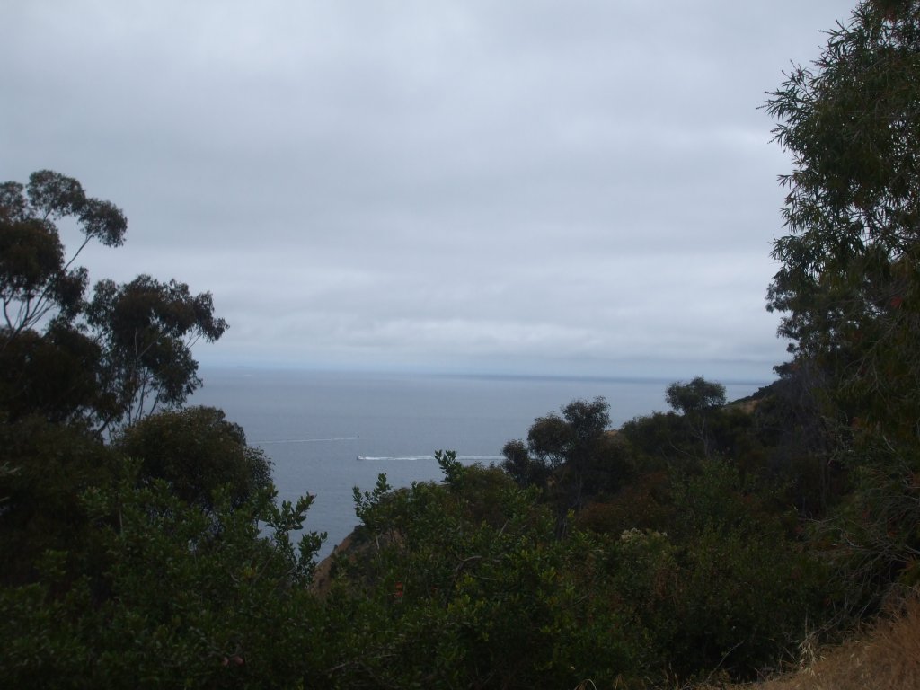


So finally, about a mile or so after traveling along the paved road I get to the trailhead. The Trans Catalina Trail seems to be a fire road accessable to bicycles and hikers by permit only. For the next 3 miles it climbs to 1,500 feet. That took about 2 hours and what a great hike. The trail is mostly switchbacks on an inverted horseshoe-shaped path. I hiked up into the low clouds. The view down the valley was blue tinted due to seeing through the clouds below me. Not knowing my exact location of the trail and knowing I had to be back to the boat by 7:30pm I turn back around to make my way back down the hill instead of completing the loop. The path back downhill only took 45 minutes but I did manage to get some nice pictures of some of the plants & cacti. There are some leaves that look like grape leaves, and a bulb thing that looks like an Asian fruit. And there is a lot of wild dill. That made a great smell on the hike.
I think there is something wrong with my camera. It seems to have made my hair look grey! It must be the camera, I'm sure it is. :-)


